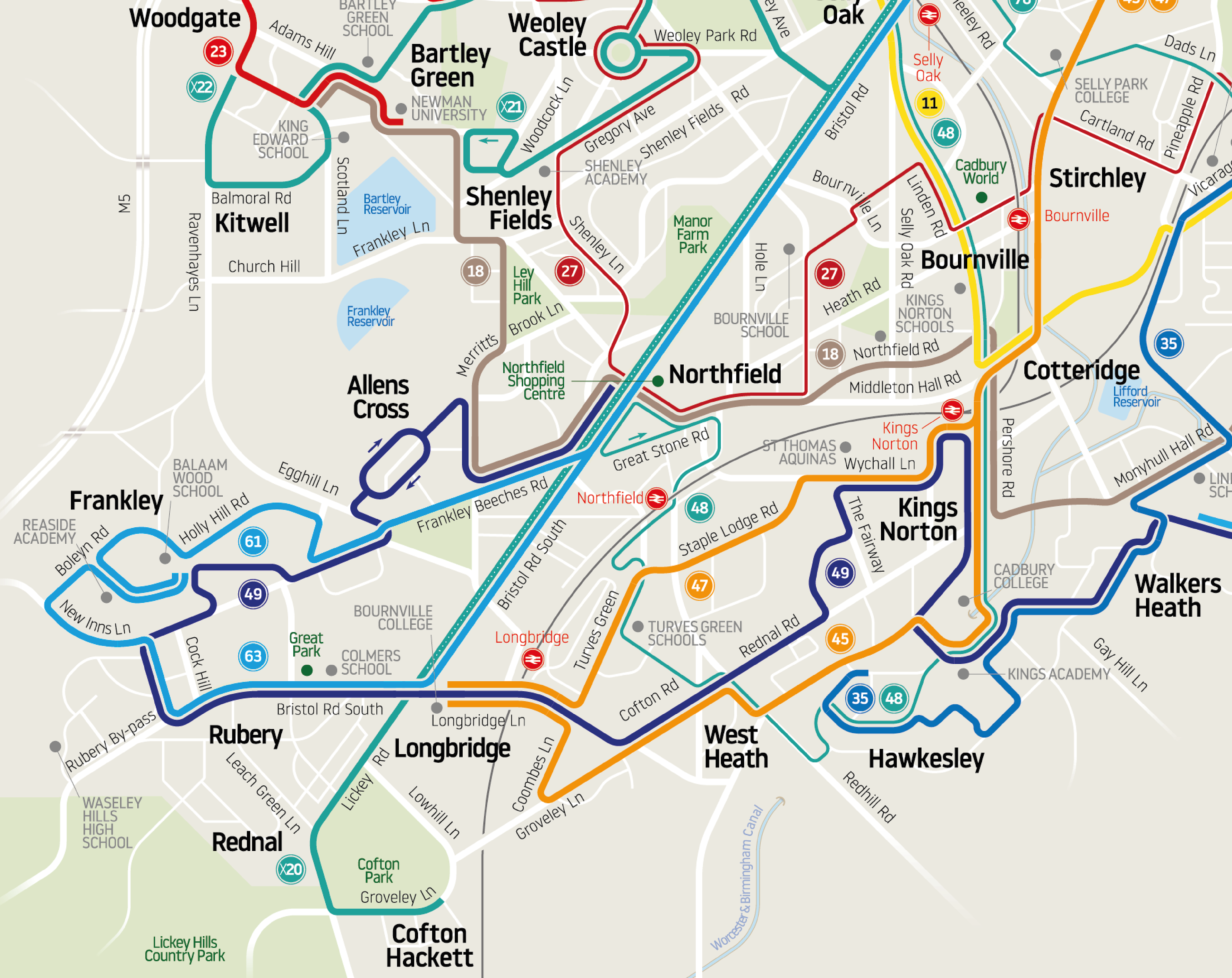
This large network map, covering over 200 sq. miles, is probably the first legible bus network map for Britain’s second city.
We use cookies to analyse website traffic and optimise your website experience. By accepting our use of cookies, your data will be aggregated with all other user data. Accept Decline